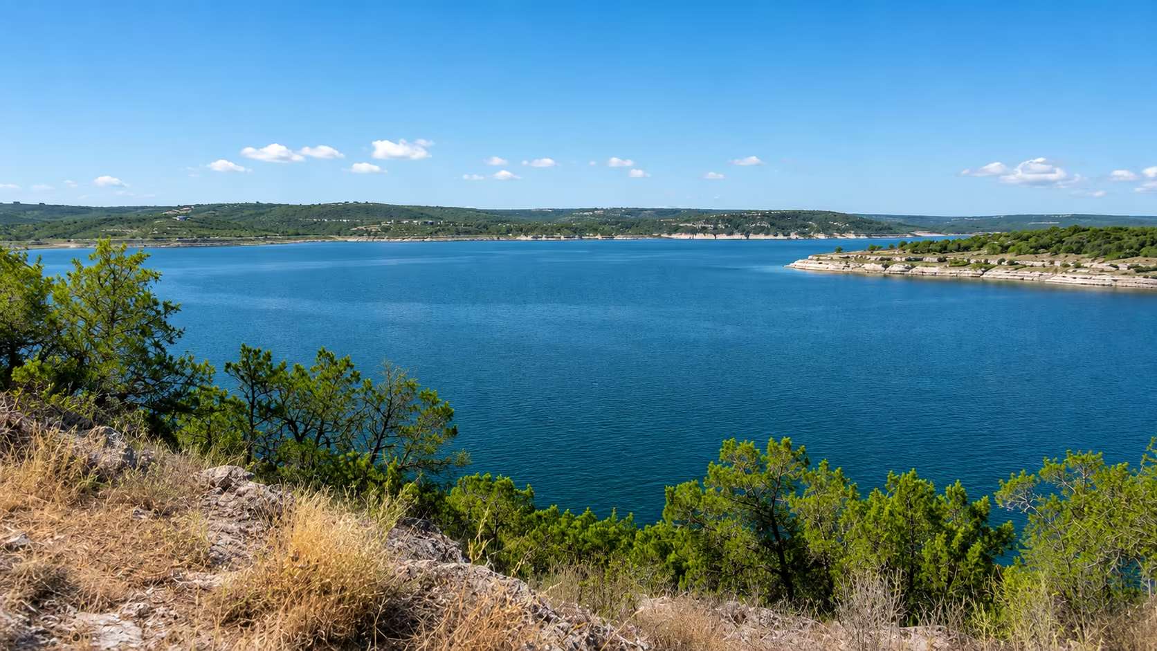
Lake Travis water level today: 677.3 ft
Lake Travis changes.
Stay ahead of it.
Live lake levels, water temperature, weather, and conditions for Lake Travis.
Lake Travis is currently at 677.3 ft above mean sea level (93.7% of conservation capacity), 3.8 ft below full pool of 681.0 ft. Last updated Oct 26, 2:25 AM CDT. Data is sourced from the Lower Colorado River Authority (LCRA) Hydromet system and refreshed roughly every 30 minutes.
Current Lake Level
Water Temp
Refreshing — cool relief on a hot day
7-Day Trend
0.36 ftScale 677.0–678.0 ft
Current lake level
3.8 ft below full pool
7-Day Trend
0.36 ftScale 677.0–678.0 ft
What changed recently
How Lake Travis has moved across short and long timeframes.
24-Hour Change
Scale 677.29–677.54 ft
Slow decline
Last 24 hours
30-Day Change
Scale 674.3–678.2 ft
Rapid rise
90-Day Change
Not enough history yet
1-Year Change
Not enough history yet
Since Last Rain
Scale 677.34–678.09 ft
Slow decline
Oct 3, 2026
Current Trend
Rapid rise
Rising about 0.50 ft a week
The lake, over time
Daily LCRA readings, with monthly averages back to 1942.
Feet above sea level
—
ft
Floods, droughts and the dam that made the lake: History of Lake Travis
Highland Lakes floodgate status
LCRA’s flood operations report for the six dams from Lake Buchanan down to Lake Austin.
No floodgates open on the Highland Lakes
Report updated Oct 5, 3:18 PM CDT · levels as of Oct 26, 2:25 AM CDT · Buchanan 1018.34 ft · Inks 887.28 ft · LBJ 824.75 ft · Marble Falls 736.73 ft · Travis 677.25 ft · Austin 492.35 ft
Read LCRA’s report for each dam
Lake Buchanan · Buchanan Dam
- Gates:
- No gate operations to pass floodwaters are expected
- Inflows:
- Inflows to Lake Buchanan are below levels that would require gate operations to pass floodwaters at Buchanan Dam.
- Forecast:
- Please see the River Operations Report for current forecasts for Lake Buchanan. River Operations Report
- Below the dam:
- 887.41 ft tailwater
Inks Lake · Inks Dam
- Spillway:
- Flow over the spillway is not expected
- Inflows:
- Inflows to Inks Lake are below levels that would cause floodwaters to pass over the spillway of Inks Dam.
- Forecast:
- The level of Inks Lake is expected to remain within its normal operating range.
- Below the dam:
- 825.16 ft tailwater
Lake LBJ · Wirtz Dam
- Gates:
- No gate operations to pass floodwaters are expected
- Inflows:
- Inflows to Lake LBJ are below levels that would require gate operations to pass floodwaters at Wirtz Dam.
- Forecast:
- The level of Lake LBJ is expected to remain within its normal operating range.
- Below the dam:
- 736.94 ft tailwater
Lake Marble Falls · Starcke Dam
- Gates:
- No gate operations to pass floodwaters are expected
- Inflows:
- Inflows to Lake Marble Falls are below levels that would require gate operations to pass floodwaters at Starcke Dam.
- Forecast:
- The level of Lake Marble Falls is expected to remain within its normal operating range.
- Below the dam:
- 677.72 ft tailwater
Lake Travis · Mansfield Dam
- Gates:
- No gate operations to pass floodwaters are expected
- Inflows:
- Inflows to Lake Travis are below levels that would require gate operations to pass floodwaters at Mansfield Dam.
- Forecast:
- Please see the River Operations Report for current forecasts for Lake Travis. River Operations Report
- Below the dam:
- 492.02 ft tailwater
Lake Austin · Tom Miller Dam
- Gates:
- No gate operations to pass floodwaters are expected
- Inflows:
- Inflows to Lake Austin are below levels that would require gate operations to pass floodwaters at Tom Miller Dam.
- Forecast:
- The level of Lake Austin is expected to remain within its normal operating range.
- Below the dam:
- 428.24 ft tailwater
Releases from the dams can start suddenly at any time — stay out of the water near them. Unofficial copy of LCRA’s flood operations report.
Mansfield Dam releases
How much water left Lake Travis through Mansfield Dam on the latest full day of LCRA readings, and when it flowed.
View 90-day historyIs Lake Travis in a drought?
No. Lake Travis is nearly full.
Today against every drought since 1942. An unofficial reservoir reading, not a U.S. Drought Monitor category.
Drought history- Above drought line
- 37.3ftdrought levels start at 640 ft
- Record low
- 614.18ftAugust 1951
- Last drought
- 2022–25bottomed at 626.9 ft
Recreation on Lake Travis
Ramps, beaches, parks and marinas around the lake.
Gear for fall lake days
Sun protection, insect repellent, dry storage and campsite lights for Lake Travis outings this fall. Check the forecast before heading out.
If checking the lake level and conditions here has become part of your routine, thank you. Lake Travis Water Level is independent and kept free for anyone who wants to check the lake. If you were already going to buy one of these lake day essentials, buying through a link here is a simple way to help keep the site running. No pressure. The lake report is yours either way.
- Sunny afternoonsIllustrationNeutrogenaUltra Sheer sunscreen, SPF 70, 3 ozSunscreen for sunny lake days. Check the label for application and water-resistance directions.View on AmazonPaid link
- Shore walksIllustrationSawyer20% picaridin spray, 6 oz, 2-packPack insect repellent for shore walks and evenings outdoors. Follow the label’s application directions.View on AmazonPaid link
- Paddle-day storageIllustrationEarth PakRoll-top dry bag with phone caseA roll-top bag for spare layers and small lake-day essentials, with a phone pouch. Check capacity and closure instructions on Amazon.View on AmazonPaid link
- Evenings outdoorsIllustrationEtekcityLED camping lanterns, 2-packTwo battery-powered lights for campsites, picnic tables and evenings by the lake.View on AmazonPaid link




Original category illustrations. View actual products and pack options on Amazon.
As an Amazon Associate I earn from qualifying purchases.